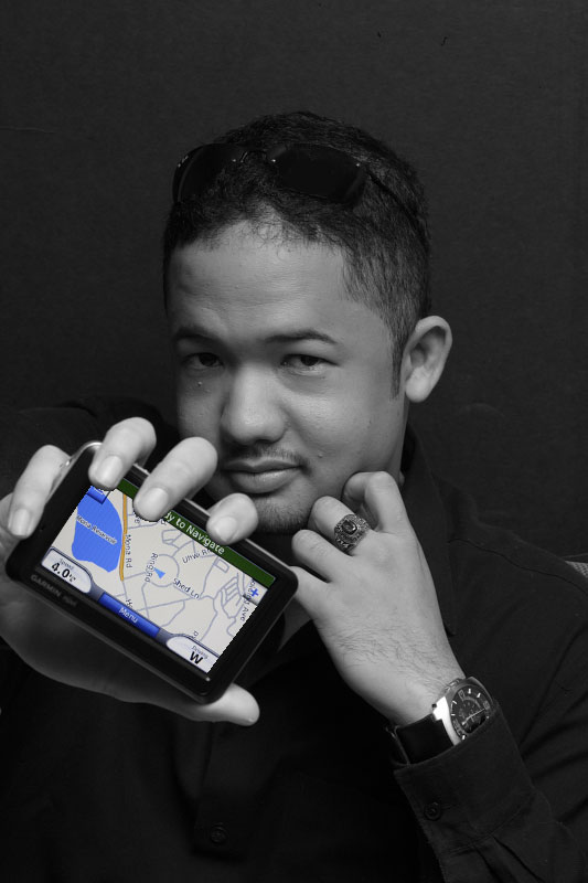
Dr. Parris Lyew-Ayee
DIRECTOR, MONA GEOINFORMATICS INSTITUTE
DEPARTMENT OF GEOGRAPHY AND GEOLOGY
FACULTY OF PURE AND APPLIED SCIENCES
MONA CAMPUS, JAMAICA
Tel: (876) 977-3160/1 • Email: parris.lyewayee@uwimona.edu.jm
PROFILE
Dr. Lyew-Ayee completed his DPhil at the University of Oxford in two and a half years, and began working as Principal Consultant to Mona Informatix Ltd in November 2004, to revitalize operations at that facility. The organization was restructured into an Institute of the UWI Mona campus, and re-branded the Mona GeoInformatics Institute. Dr. Lyew-Ayee was appointed Director, and with a staff of 17 has led the Institute into its third straight year of operational profitability. Dr. Lyew-Ayee was awarded the Prime Minister’s Youth Award for Excellence in Academics in 2004, the Youth Musgrave Award for Science in 2005, and the Governor-General’s Youth Award for Excellence in 2006. He sits on the Board of six private and public sector organizations: NEM Insurance Company, Management Control Systems Ltd, the Jamaica Conservation and Development Trust, the National Works Agency, the National Housing Trust, and serves as the Chairman of the Water Resources Authority. He is also on the National Development Steering Committee of the Planning Institute of Jamaica, and a member of the Violence Prevention Alliance and Crime Observatory. Dr. Lyew-Ayee is currently a joint researcher with the Planetary Sciences Institute (Tucson, Arizona) in examining rock breakdown characteristics of Martian rocks for a NASA project.
RESEARCH INTERESTS
Dr. Lyew-Ayee’s research interests range from geomorphological modeling of karst landscapes (with particular emphasis on topographic signature detection) to modeling crime and sociological patterns, GPS tracking and navigation systems, natural hazards (with emphasis on public sector planning, as well as for private sector interests – for insurance companies and developers), and business planning and management (distribution optimization, site-suitability, market analysis, and customer profiling), all of which involve the use of mapping and geospatial technologies for pattern detection, analysis and recommendations.
