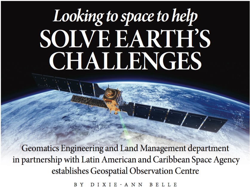
While NASA is looking to the stars, contemplating their next trip to space, the Latin American and Caribbean Space Agency (ALCE) is focusing on the Earth and exploring how a new geospatial observation centre, based at UWI St Augustine’s Faculty of Engineering, will fortify the Caribbean against the imminent challenges of climate change.
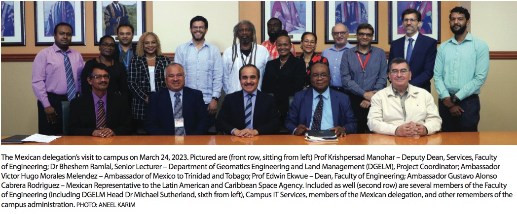
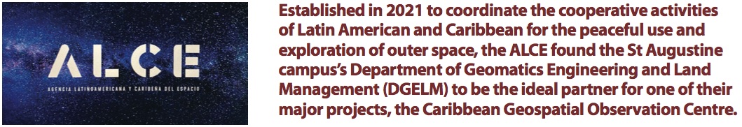
Established in 2021 to coordinate the cooperative activities of Latin American and Caribbean for the peaceful use and exploration of outer space, the ALCE found the St Augustine campus’s Department of Geomatics Engineering and Land Management (DGELM) to be the ideal partner for one of their major projects, the Caribbean Geospatial Observation Centre. The Mexican Foreign Ministry and the National Institute of Statistics and Geography (INEGI) of Mexico recently signed a memorandum of understanding (MOU) with The UWI to cement the project.
The centre will produce geographic and statistical information compiled with the aid of satellite images and other data sources. Dr Bheshem Ramlal, Senior Lecturer of Geomatics Engineering at DGELM, explains that these products will support geospatial specialists in addressing regional issues associated with disaster mitigation and management, and climate change. The data will be available for free and will be instrumental in drafting policies related to disaster prevention, urban growth, natural resources and more.
The UWI’s involvement in this centre has been growing for a decade.
“The UWI has developed a good working relationship with the United Nations Global Geographic Information Management Americas Committee of Experts,” explains Dr Ramlal.
This opened the door to UWI signing an MOU with the Association of Caribbean States (ACS) and INEGI to collaborate on a US $4.5m project to improve regional geospatial infrastructure. This project was completed in 2018.
DGELM’s expertise made it the best choice for the centre. In the previous project, staff members were involved in designing the geodetic infrastructure that has been installed across the region, as well as in delivering training courses. Dr Ramlal notes that because of The UWI’s track record and position as a regional institution serving most Caribbean countries, stakeholders approached the university to discuss further collaboration. Since DGELM is located on the St Augustine campus, it was the ideal location for these operations.
The centre’s equipment is currently being installed. Once up and running, it will house two high-performance servers supplied by Dell. Major processing and analysis of data will be completed using this equipment.
“The next phase is the installation of specialised software to manage and analyse the Earth observation data that is to be downloaded from several sources,” says Dr Ramlal. “At each of these steps, training of UWI personnel will be conducted.”
The work at the centre will assimilate resources from around the world. They will collect Earth observation satellite imagery from European Space Agency satellites Sentinel-1 and Sentinel-2. The staff will also have access to datasets collected by US satellites Landsat 8 and 9.
According to Dr Ramlal, “These datasets will be used to undertake research to better analyse land use and land cover changes, mangrove monitoring, assessing desertification, flooding analysis, illegal quarrying, crop mapping and monitoring, Sargassum seaweed mapping and monitoring, mapping forest fires, and other related large scale mapping and monitoring across the Caribbean.”
In the years to come, the Caribbean Geospatial Observation Centre has the potential to contribute to major regional research. Once the ALCE becomes fully functional, Dr Ramlal predicts that the centre’s team will have access to even more datasets and resources which can be used to meet many of the region’s greatest challenges.