UWI HALF-MARATHON TRAVEL TO
T&T
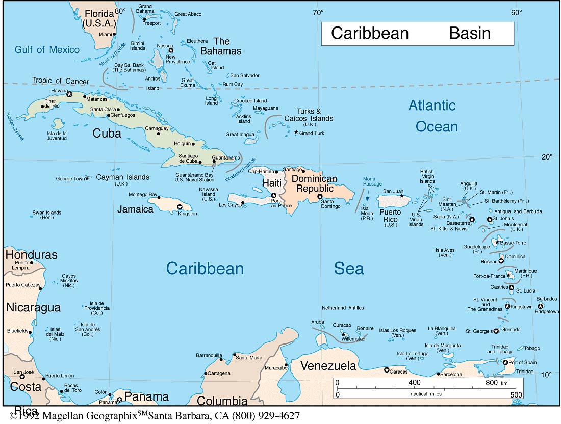
Trinidad
and Tobago are the southernmost
islands of the Caribbean
archipelago, and are geologically an
extension of the continent of South
America. Trinidad is separated from
Venezuela by the 10 km (7 mile) straits
of the Gulf of Paria, and lies 30 km
(21 miles) away from Tobago. Together
the two islands comprise 5,128 sq. km
(1,980 sq. miles). The country enjoys
average temperatures of 32°C (89°F)
maximum and 23°C (73°F) minimum.
The dry season extends from January
to May and the rainy season from June
to December. Trinidad & Tobago is
just south of the hurricane belt.
T&T’s national air carrier,
BWIA,
flies to the capital city of Port-of-Spain
from the following international cities:
In the Caribbean: Bridgetown, Castries
and Vieux, Fort Kingston, Kingstown,
Philipsburg, St. George's, and St. John's
In South America: Georgetown,
and Caracas
In North America: Miami,
New York, Washington, and Toronto
In Europe: London
Other carriers include: LIAT,
Caribbean
Star, ALM Antillean Airlines, Surinam
Airways, American
Airlines and American
Eagle, Air
Canada, Air
France (from Fort-de-France), with
British
Airways flying to Scarborough (Crown
Point).
Piarco, Trinidad's international airport,
is about 12 minutes from the U.W.I.,
St. Augustine campus, and about
45 minutes from P.O.S. The flight from
Piarco to Crown Point, Tobago's international
airport, takes only 15 minutes. Both
BWIA
and Caribbean
Star fly between Port-of-Spain (Piarco,
Trinidad) and Scarborough (Crown Point,
Tobago).