


 Land Surveying provides spatial (geographical) and attribute information in the form of maps and other manual records (analogue) or computer-compatible (digital and attribute) formats to meet the multitude of user needs. The products of land surveying are invaluable tools for informed decisions in all spatially oriented land and marine-based activities.
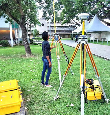
Satellites and computers have changed the technology of measurement, processing and presentation of information used by the surveying profession. Simultaneously, spatial information and information theory and practice have acquired greater emphasis in land surveying.
Land Surveying requires a firm background in mathematics, computer science, information systems, law, planning, valuation and management as well as surveying disciplines of geodesy, cadastre, engineering surveys, photogrammetry, remote sensing cartography and hydrography.
The graduate land surveyor can be usefully employed in many institutions other than those specially dedicated to the surveying profession, for example, employment opportunities exist in land administration, land development, engineering, local authorities, utilities and forestry.
The Department of Geomatics Engineering and Land Management
The Faculty of Engineering
UWI, St. Augustine
Tel: (868) 662-2002 ext. 82108 / 82109
Email: Geomatics.Engineering@sta.uwi.edu


